News · Travel
Moderate waves forecast around Sumba until 20 November
BMKG lists the Sumba Strait, Savu Sea and waters south of Sumba at 1.25 to 2.5 m; two cyclone seeds are far away.
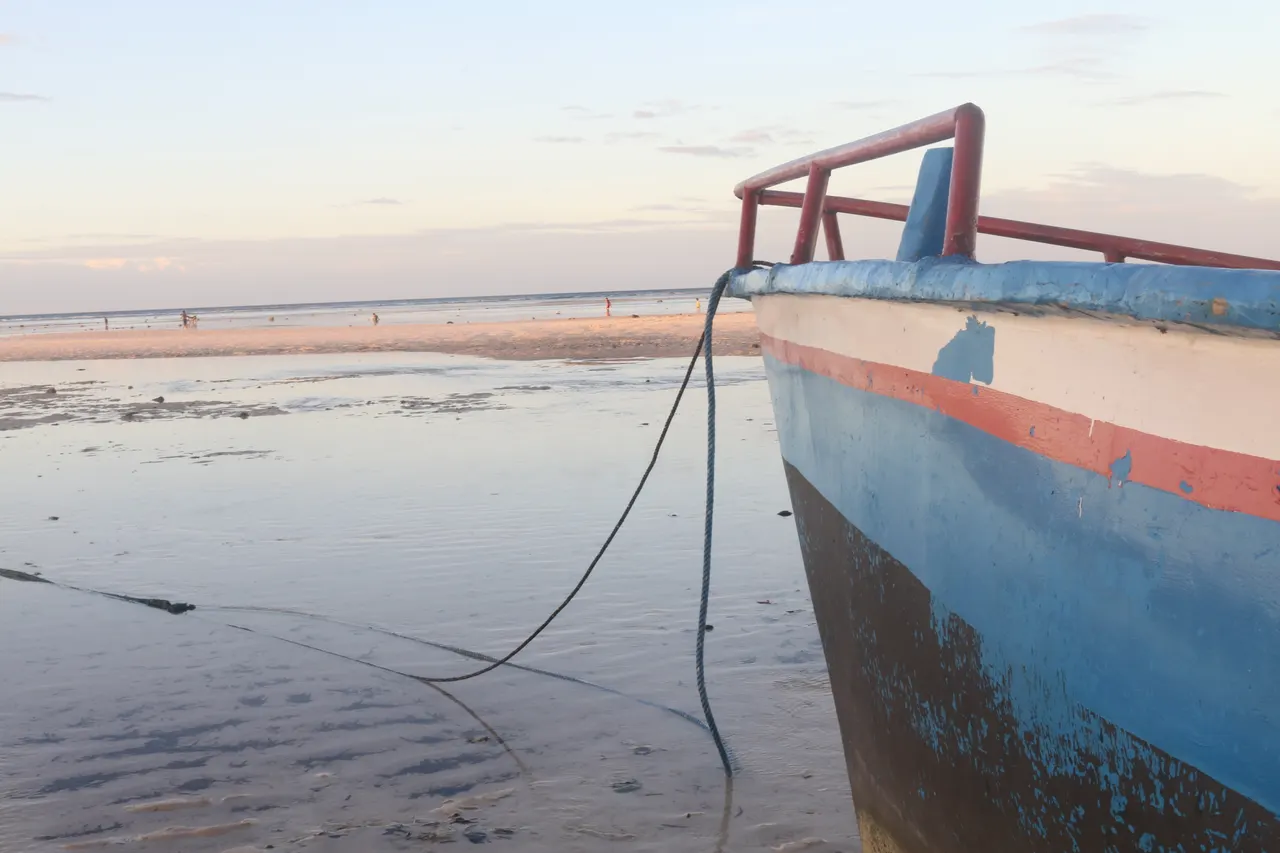
BMKG expects moderate waves of 1.25 to 2.5 metres in nine NTT sea areas, including the western Sumba Strait, the waters south of Sumba and the Savu Sea, from 08:00 on 17 November to 08:00 on 20 November 2026 (WITA). Two cyclone seeds are being monitored far away, and the sources do not report a cyclone threat to Sumba.
- BMKG's early-warning page lists nine NTT sea areas at 1.25 to 2.5 m (moderate) from 08:00 on Tuesday 17 November to 08:00 on Friday 20 November 2026 WITA.
- Winds across NTT blow from the southeast to the southwest at 6 to 22 knots, strongest in the Sumba Strait, the Savu Sea and other channels; no NTT area is in the high category (2.5 to 4 m).
- ANTARA reports that BMKG is tracking cyclone seeds 92B (Bay of Bengal) and 96S (Indian Ocean west of Sumatra), which can raise waves up to 4 m between 16 and 19 November.
- BMKG's NTT text ties local conditions to wind in the channels, not to the seeds; none of the sources reports cancelled sailings or a cyclone threat to Sumba.
Background: Best time to visit Sumba: a month-by-month guide · Earlier: Very strong El Niño delays rains in most of NTT until December (8 November 2026)
JAKARTA. Indonesia's weather agency BMKG expects moderate waves of 1.25 to 2.5 metres in nine sea areas of East Nusa Tenggara (NTT), including the western Sumba Strait, the waters south of Sumba and the Savu Sea. The warning runs from 08:00 on Tuesday 17 November to 08:00 on Friday 20 November 2026 (WITA, UTC+8), according to BMKG's early-warning page. ANTARA reported on Monday 16 November 2026 that the agency is also tracking two cyclone seeds far from Sumba.
Which waters around Sumba BMKG lists
The NTT warning names nine areas in the moderate category (1.25 to 2.5 m): the southern Sape Strait, the western Sumba Strait, the Savu Sea, the waters south of Sumba, the waters north and south of Sabu and Raijua, the waters north of Kupang and Rote, the waters south of Timor and Rote, and the Komodo National Park waters. Winds across NTT blow from the southeast to the southwest at 6 to 22 knots, strongest in the Sumba Strait, the Savu Sea and several other channels. BMKG's separate forecast for the western Sumba Strait, valid from 14 to 17 November, flagged moderate waves of about 1.8 m. The warning page lists no NTT area in the high category (2.5 to 4 m).
Two cyclone seeds, far from Sumba
A cyclone seed (bibit siklon) is a low-pressure system that can develop into a tropical cyclone. According to ANTARA, BMKG is watching seed 92B in the Bay of Bengal (1007 hPa, maximum wind 25 knots) and seed 96S in the Indian Ocean west of Sumatra (1008 hPa). Agie Wandala Putra, BMKG's acting director of maritime meteorology, said they change wind patterns and can raise waves up to 4 metres between 16 and 19 November 2026. BMKG's NTT text ties local conditions to wind speeds in the channels, not to the seeds. Neither source mentions a cyclone threat for Sumba.
Background: a rainy season that is slow to arrive
The island is still waiting for steady rain. As we reported, BMKG expected El Niño to delay the rainy season in most of NTT until December; see our report on the delayed rains.
What it means for visitors, residents and investors
Visitors: moderate waves are not a ban on sailing, but small boats feel them first. Before a ferry, boat trip, dive or south-coast surf session between 17 and 20 November, ask your operator the day before and check BMKG's maritime page; the sources report no cancelled sailings. Residents: anyone who depends on small boats should check the forecast before leaving the coast. Investors: a three-day moderate-wave warning is not a disruption on its own, but cargo and tour-boat schedules in the Sumba Strait and Savu Sea are worth a buffer.
Moderate waves are not a ban on sailing, but small boats feel them first. Before a ferry, boat trip, dive or south-coast surf session between 17 and 20 November, ask your operator the day before and check BMKG's maritime page; the sources report no cancelled sailings.
- ANTARA Kupang: BMKG: Waspadai dua bibit siklon tropis pemicu gelombang tinggi hingga 4 meter (16 Nov 2026)
- BMKG: Peringatan Gelombang Tinggi, peringatan dini (valid 17 to 20 Nov 2026 WITA, consulted 17 Nov 2026)
- BMKG Maritim: Prakiraan Cuaca Perairan Selat Sumba Bagian Barat (14 to 17 Nov 2026)
Spotted an error? Write to info@ecobeachcity.com.
Sumba this week, every Sunday
The week's news, one place worth the trip and practical travel notes. Free, and you get our 7-day Sumba guide (PDF) on signing up.
One email a week. No spam. Unsubscribe in one click. Sumba this week